Drone photos
$60 with a photo shoot
For larger lots, upgraded backyards, homes on the water or a golf course, and nearby places worth showing. FAA Part 107 certified pilots.

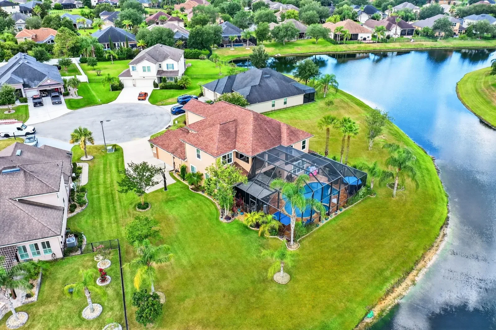
Aerial photos that show the lot, the water, the golf course and how close the beach really is. Flown by FAA Part 107 certified pilots from our own family and delivered the next day.
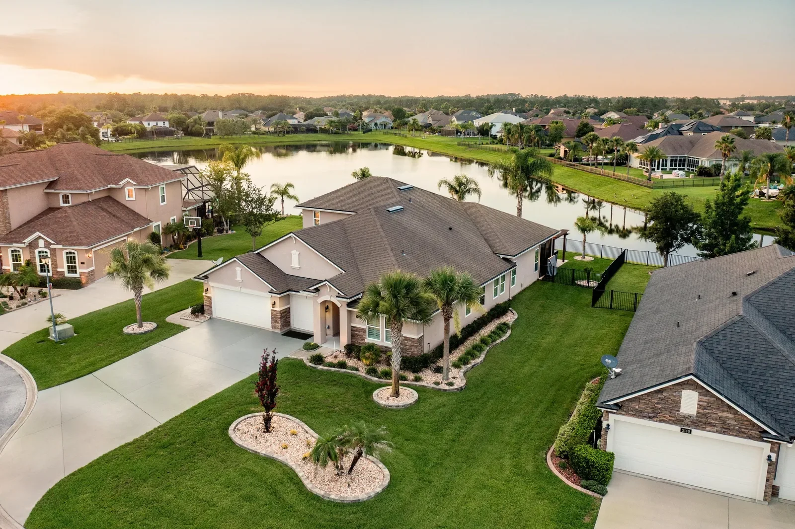
A ground photo shows the house. A drone photo shows where it sits: the size of the lot, the water behind it, the fairway, the preserve, and the distance to the beach or the river. For many North Florida listings, that setting is what the buyer is paying for.
Megapixeler flies drone photos for listing agents and builders across Jacksonville, St. Johns, Ponte Vedra, St. Augustine and Clay County. Our pilots are FAA Part 107 certified, and Megapixeler is licensed, insured and bonded.
Drone photos earn their place on larger lots, upgraded backyards, homes on the water or a golf course, and homes near places worth showing, like the beach, a lake or a town center. On a small lot in a dense street, ground photos often tell the story better.
Our cinematic walkthrough films include aerial footage. For land, lots and commercial properties, commercial aerial photos are priced per site on our pricing page.
More aerials in the drone section of our portfolio.
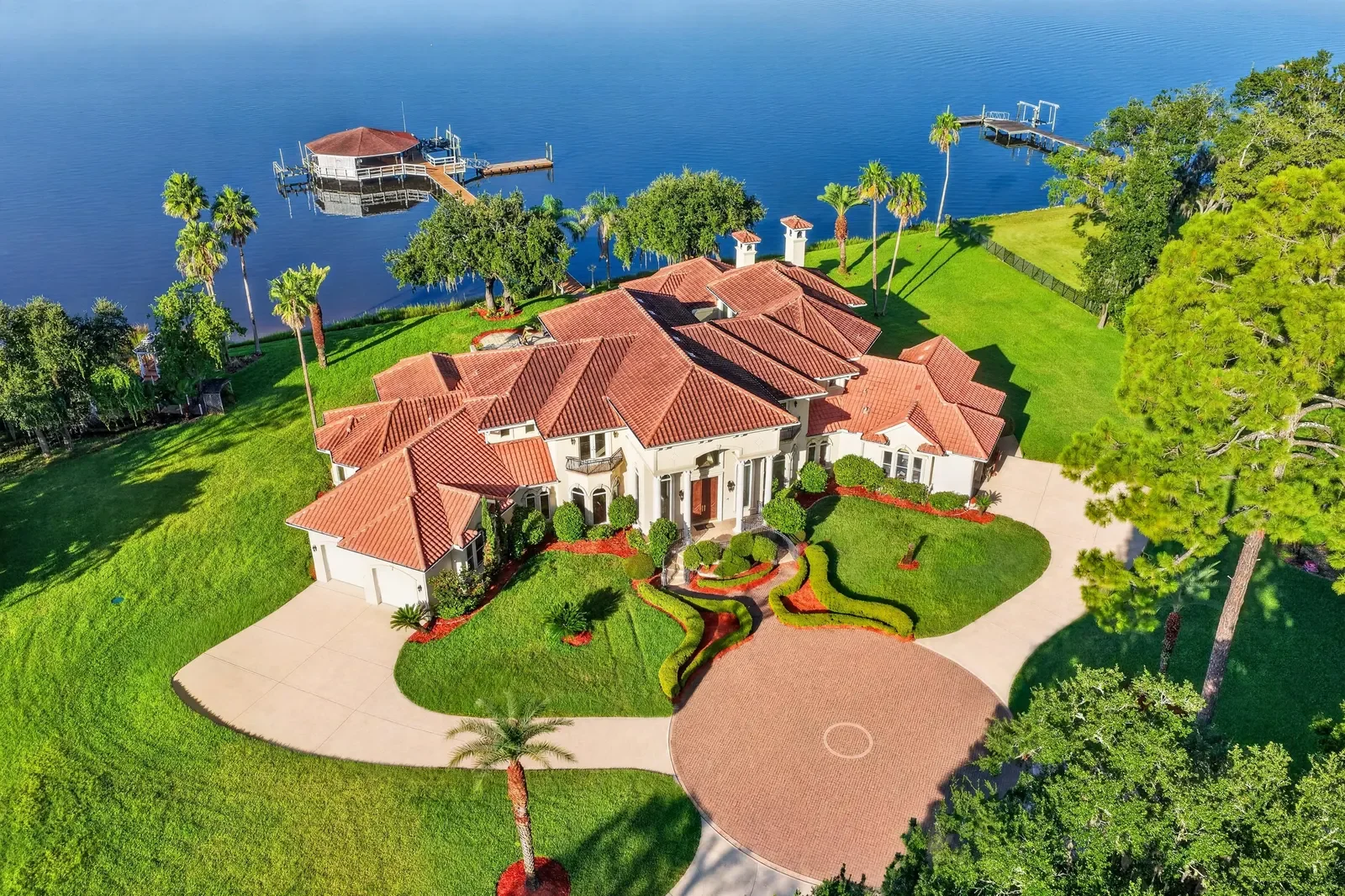
Drone photos are added to a booked listing photo shoot, the same price for every home size. The same prices as our pricing page and the booking page. A floor plan is free with every photo shoot, and you pay only after you approve.
| Service | Up to 2,000 | Up to 3,000 | Up to 4,000 | Up to 5,000 | Up to 6,000 |
|---|---|---|---|---|---|
| Listing photos | $179 | $199 | $239 | $319 | $419 |
$60 with a photo shoot
For larger lots, upgraded backyards, homes on the water or a golf course, and nearby places worth showing. FAA Part 107 certified pilots.
$179 per site
Lots, land and commercial properties from the air.
Drone photos are a $60 add-on to a booked listing photo shoot, the same price for every home size. Listing photos start at $179 for homes up to 2,000 sq ft, and a floor plan is free with every photo shoot. Commercial aerial photos of lots, land and commercial properties are $179 per site.
Yes. Our pilots are FAA Part 107 certified, and Megapixeler is licensed, insured and bonded.
Parts of Jacksonville sit in controlled airspace near the airports and Navy bases. We check every address before the shoot, and if the airspace does not allow a flight we let you know before shoot day.
The next day, delivered with the listing photos in walk-through order. We can upload them to your MLS listing for you.
Only after you see and approve the photos, through the Stripe link on your invoice. Nothing is charged when you book, on every shoot.
Drone & aerial photography across North Florida. Free travel in Jacksonville and the Beaches, Ponte Vedra, Nocatee, St. Johns, St. Augustine, Orange Park, Fleming Island, Green Cove Springs and Hastings; farther areas show their travel fee before you book.
Book online in two minutes. We shoot, edit and deliver by the next day, upload to your MLS, and you pay only after you approve.