
Commercial drone project · Palatka, FloridaCommercial Drone Mapping & Aerial Photography in Palatka
This was a commercial drone mapping project Megapixeler flew in Palatka in July 2026. To protect our client's confidentiality, the images are not published here.
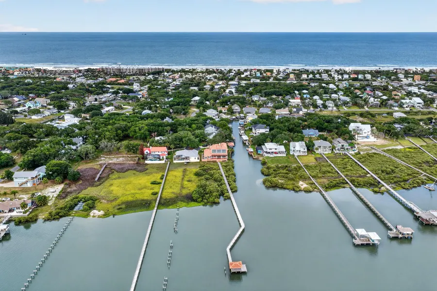
On projects like this, we plan automated flight paths with the DJI Matrice 4E enterprise drone and capture overlapping aerial images for photogrammetry. The result is accurate 3D modeling, orthomosaic maps and detailed aerial views of the property, ready for builders, developers, engineers and construction managers.
As a commercial photographer in Jacksonville, Megapixeler brings the same professional standard to every job, from a single aerial site photo to repeat construction progress flights across Northeast Florida.

Planning a commercial project in Palatka?
Drone mapping, photogrammetry, 3D models and aerial images by FAA Part 107 certified pilots. Call us to talk through your project.