
Commercial drone project · Jacksonville, FloridaCommercial Drone Mapping & Aerial Photography in Jacksonville
Megapixeler handled this commercial aerial imaging project in Jacksonville in July 2026. Its photos and data are kept confidential at our client's request.
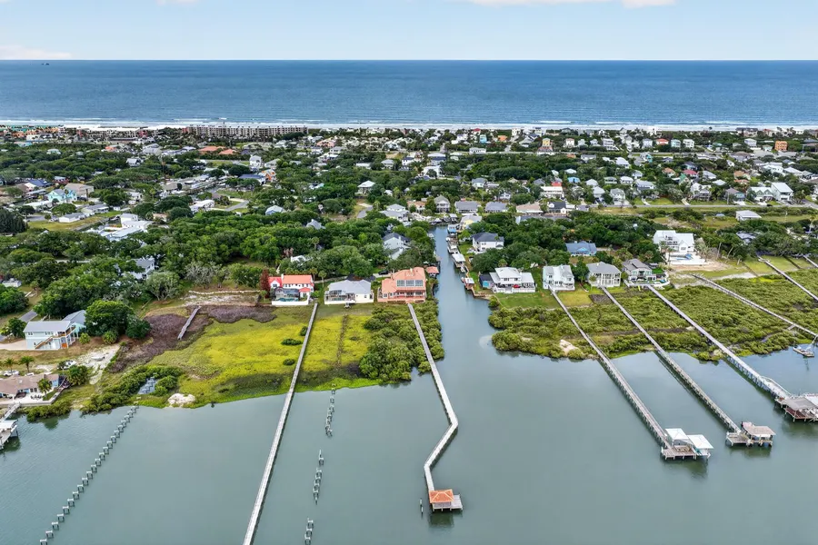
Commercial projects like this one rely on professional drone work: DJI Matrice 4E flights for drone mapping and photogrammetry, high-resolution aerial images of the site, and 3D models and orthomosaics that construction, builder and developer teams use to track progress and share plans.
From St. Johns to Jacksonville, Megapixeler's FAA Part 107 certified pilots provide commercial photography, drone services and 3D modeling for builders, developers and property owners.

Planning a commercial project in Jacksonville?
Drone mapping, photogrammetry, 3D models and aerial images by FAA Part 107 certified pilots. Call us to talk through your project.